Drone Roof Inspection
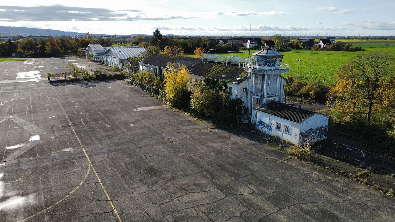
After spring hail or wind, a broad roof can be difficult to survey quickly from a single access point. First, we establish a safe perimeter, confirm the property contact and airspace constraints, then capture imagery of the roof areas that can be seen from above. In Broken Arrow, OK, Tulsa-area spring brings frequent thunderstorms, with hail and damaging winds most common in spring and early summer. Aerial images show surface conditions only; they do not prove hidden moisture, attachment, or deck condition. A drone survey can document large roof fields, transitions above normal reach, and areas with limited safe walking access, then direct a closer hands-on visit to specific details. The route includes properties along the Creek Turnpike and SH-51, where commercial and industrial sites vary in access and surroundings. We use images as a roof record and inspection aid, paired with an on-roof hands-on inspection when close examination is needed.
Map coverage before the flight
Useful imagery begins with a defined area and a reason for collecting it. We identify roof boundaries, separate buildings, equipment clusters, reported leak zones, and any part of the site that should not be entered. The plan accounts for roof access, staging, occupants below, nearby roads, utilities, and safe launch and landing areas. A multi-building site such as Northeastern State University's Broken Arrow campus may have several roof footprints and building contacts; imagery is organized by structure rather than combined into one undifferentiated view. We confirm current conditions and any required site permissions before flight. High wind, rain, lightning, poor visibility, or other unsafe conditions can delay capture, particularly during severe-weather periods. A schedule is set around site access and safe operating conditions, then the image set records which roof areas were covered and which could not be captured. We also agree on labels before collection, such as building name, compass side, and roof section, so the facilities contact can match an image to a physical location later. A consistent naming plan saves time during repair review and future comparison.
Use imagery to direct close inspection
Aerial images can reveal debris accumulation, displaced objects, broad ponding patterns, apparent membrane damage, and changes near edges or equipment. They can also help compare roof sections and identify where a hands-on inspector should look next. Resolution, light, shadows, obstructions, roof color, and flight angle all affect what can be distinguished. A dark patch or surface mark is not a diagnosis, and a clear-looking image cannot rule out concealed moisture. We label observations as visible, suspected, or requiring close inspection, then cross-reference them to the roof plan or photo sequence. For example, an image may guide a closer look at a curb or seam without deciding the repair scope by itself. A roof condition report can combine aerial photographs with close-up findings, while an infrared moisture survey uses separate methods to evaluate possible wet insulation.
Keep storm observations specific
Broken Arrow has documented tornado damage at or near the city, and NWS hail records for the Tulsa observation area show reports throughout the year with a spring peak. After a storm report, we use aerial images to locate visible impacts on the specific roof and flag areas that need closer inspection. Drone imagery can document visible displacement, surface debris, or an apparent opening after conditions become safe. We compare images with prior photographs when available and flag details for close inspection, rather than assigning cause from appearance alone. A focused hail-damage inspection or wind-damage review can follow where site evidence supports it. At Creek 51 Business Park, we confirm the vehicle routes, safe launch area, and staging point with the property contact before a flight. The aerial record points the repair team to visible conditions and any detail requiring hands-on inspection.
Know where a drone cannot answer
Images cannot test adhesion, inspect concealed layers, measure deck deterioration, confirm the roof assembly, or determine whether insulation is wet. Obstructions can hide membrane at curbs, rooftop units, parapets, and crowded equipment zones. A camera angle may also make a seam or depression appear different from its condition at roof level. When a close look is needed, we schedule a safe roof visit and document the specific limitation that prompted it. If testing is warranted, we select targeted openings or another suitable moisture method and record the locations. Owners considering a repair, recover, or replacement receive these limits with the imagery so they know which decisions remain open. For a property near The Shops at Aspen Creek, a drone view may organize broad coverage across roof areas, but tenant activity, access, and roof conditions still require direct coordination.
Deliver images that support a decision
The final image set is grouped by building and roof area with the capture date, observable condition, and recommended next step. We identify any missed or obstructed areas, then link close-up photographs to findings where a hands-on inspection was also completed. The owner can use the record to assign repair locations, compare later observations, and brief a facilities team that was not on the roof. For an urgent opening, emergency protection may be required before the full imaging set is complete; safety and interior protection take priority. Planned follow-up can become part of roof maintenance so recurring conditions are checked in consistent locations. Zeeco's industrial-scale testing and manufacturing make roof equipment and operating constraints relevant to site coordination; the Washington Street corridor includes other properties whose access plans must be confirmed separately. Images close the loop when the owner can use them to direct the next inspection or repair.
Image review should include a short disposition for every marked observation: no visible change, closer roof review needed, or confirmed by a separate hands-on inspection. That keeps a colored patch, shadow, or standing water from being reported as a leak or material failure without evidence. When images are used for a maintenance baseline, we retain the capture date, building identifier, flight conditions, and camera view so a later set can be compared fairly. Different lighting or water on the surface can make a roof look changed when the material is not. The facilities contact can use the marked image to assign a closer inspection, but any repair estimate needs the actual detail and a defined work boundary. If a roof is unsafe to walk, imagery may help plan access, though it does not replace the owner's site permissions or required safety procedures. The handoff therefore states both the image result and the inspection step that remains.
Commercial Roofing Questions
Can drone photographs confirm a roof leak?
They may show visible damage or a route to inspect, but they cannot confirm concealed water entry or trace moisture through roof layers. We combine images with interior reports and close roof observations to identify the source.
When is aerial imagery useful for a commercial roof?
It can help document broad areas, high details, and roofs where a full walking survey is difficult or needs better coverage planning. The image set is most useful when it answers a defined inspection question.
Will a drone replace a hands-on inspection?
No. Close examination is needed for seams, flashings, fasteners, membrane adhesion, and many repair details. Aerial views can direct that work and provide context, while a hands-on inspection verifies roof conditions.
Can you capture imagery during a storm?
No flight proceeds when wind, lightning, rain, visibility, or site conditions make it unsafe. Emergency interior protection and safe access come first; imagery is scheduled once conditions allow a controlled capture.
What is included with the imagery?
The handoff groups photos by building and area, notes capture conditions and visible findings, and identifies obstructions or gaps. When close inspection follows, the report connects aerial context to the ground-level observations.